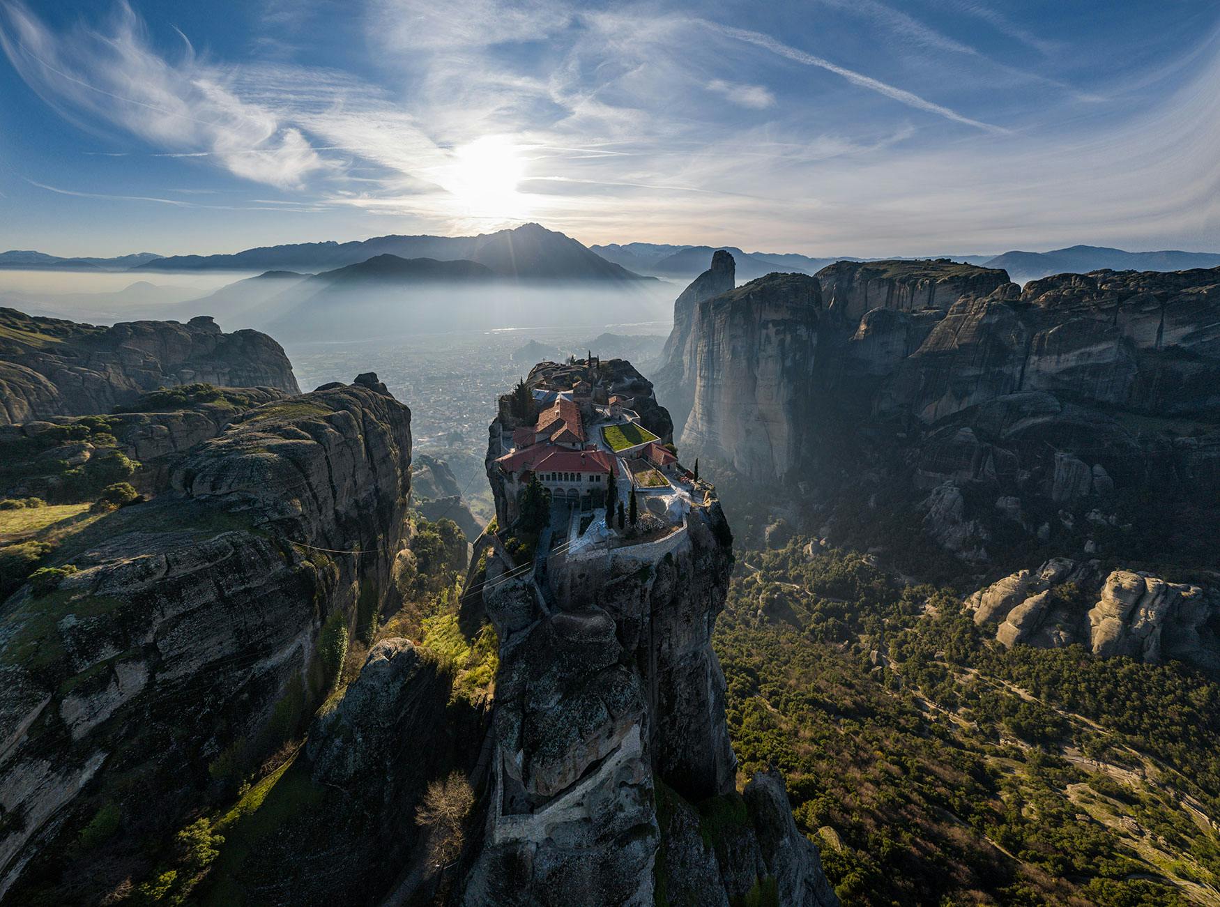
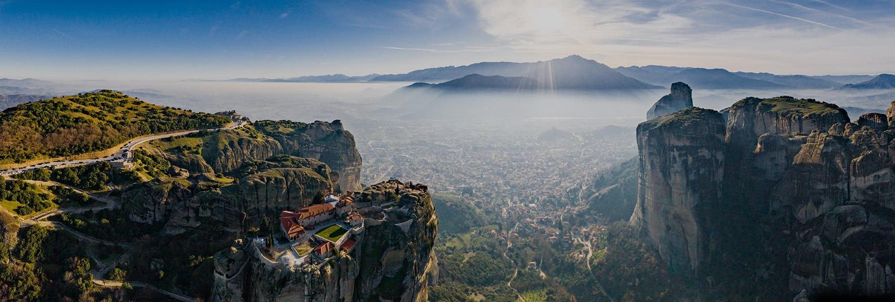
Meteora – A Geological Phenomenon
Thematic
Museum in Holy Monastery of Great Meteoron- Part of religious culture
Faith and worship
Meteora
Areas
Kalampaka
Areas
Kastraki
Areas
Trikala
Areas
Elati- Tourist market
Areas
Pertouli Meadows
Areas
Aspropotamos
Areas
Pyli
Areas
Smart Trikala
Smart and modern city
Train Stations and Routes
History and culture
Ancient Trikki
History and culture
Farkadona
Areas
Oichalia
Areas
The First Shape of a Heart- Ancient Pellina
History and culture
Ancient Pelinna
History and culture
Pertouli Ski Center – Koziaka Refuge – Chatzipetrou Peak
This is the most famous trip to Koziakas, as well as the shorter, in order to reach the highest top of the mountain. We commence our climb from the base of Pertouli Ski Center, where we start crossing the meadows from the parking area and then move to the wooden footbridge of a small river. There are many yellow square marks with a black triangle, which are used as marks along this trip. In the end of summer, there is less water in the river, so we can cross it from any point. However, during winter and spring, it is impossible for us to do so, without getting wet. After crossing the river, we straightly find a forest road, which we follow for 200 meters to the right and then we follow a path to the left towards a dense fir forest. After 200 meters, this path leads us once again to a forest road, which we follow to the left. After approximately 700 meters in this forest road, we are found in another horizontal forest road. Here is the path that leads us to the shelter and to the mountaintop. The start of this path is straight on towards the road we followed. Firstly, it slopes up smoothly and then it goes to the right, crossing the sides of the mountain without gaining altitude. After an hour, the climb becomes gradual from Skala to Arvanites and then down from a vertical rock. Walking up the steps, we find ourselves in a flat plateau (location Arvanites). Here the path continues to the east and after 200 meters, it crosses the homonymous fountain. After the fountain, it moves to the north and crosses the mountain slopes, which are now surrounded by a thinner forest. Attention! Once you pass a smooth mountainside, the path slightly goes up towards this side and then it leads to a steep stairway under the refuge. Slightly below this stairway, there is a pen, where a forest road from Pertouli Meadows comes. Climbing up the steps, only a few meters ahead, appears Bakola plateau, where we find the refuge of Mountain Koziakas (1738m). From the refuge on, this path has no marks, but it leads straight to the mountaintop, having first passed the last array of fir trees before ending to the alpine area. Once we get to approximately 1830 meters, we see the marked path that starts from Elati (yellow marks) and we follow it until Chatzipetrou Top in 1901m.
Length: 5226 m.
Alt. Ascent: 790 m.
Alt. Descent: 45 m.
Maximum Altitude: 1915 m.
Minimum Altitude: 1169 m.